Aerial Survey
About 2 results.
Survey and Mapping Services
- Land Construction Company
- National
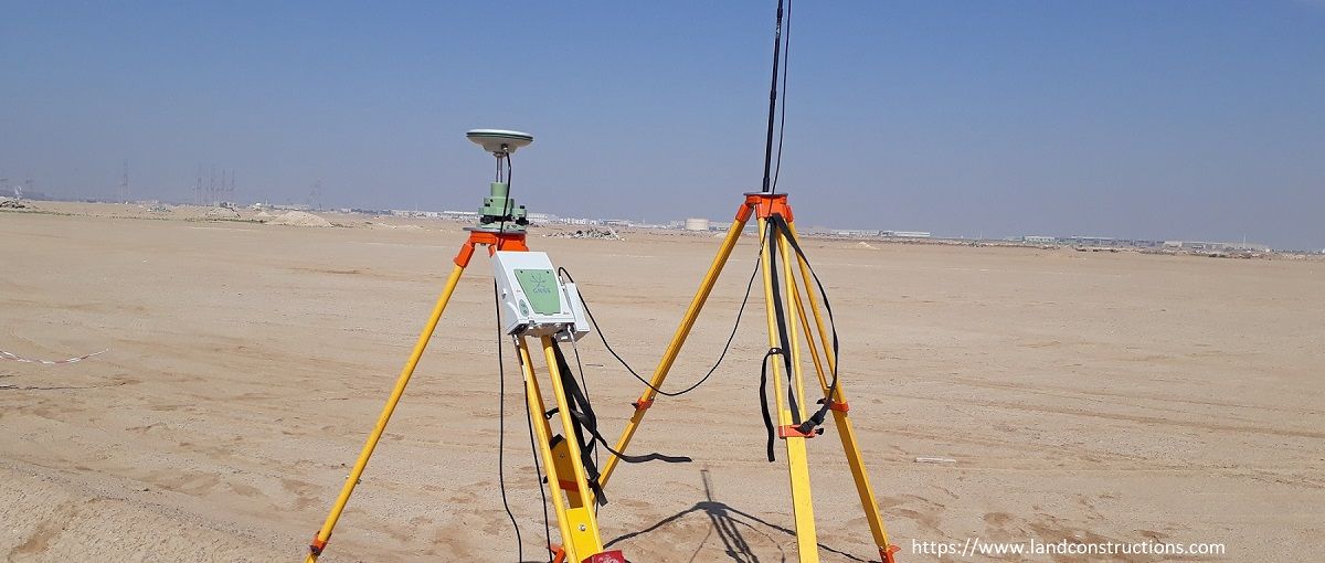
We provide the following Survey and Mapping servicesTopographic SurveyA topographic survey is commonly performed on vacant land. Unlike other types of land surveys, the purpose of this survey is to map the contours, relief, roughness, shape, configuration…

Civil Engineering- Land Development, Survey Drafting, and Structural Detailing
- Indovance Inc
- World
Land Surveying Drafting – INDOVANCE Inc has been providing a wide range of specialized Civil Land survey CAD drafting services since 2003. Land survey drafting is an integral part of the elementary phase of any construction project and requires attention …